Boundaries is a printed chapbook exploring Melbourne’s boundaries, it includes an essay written by Sophie Cunningham and a series of photographs by Dianna Wells. It was launched at The Wheeler Centre on 30 November 2016. The project was supported by an arts grant from the City of Melbourne.
“The Plan when I embarked on an exploration of the City of Melbourne’s current boundaries was that photographer Dianna Wells and I would walk close to thirty-five kilometres of parkland, rivers, roads and freeway. But negotiating the boundaries was not always possible, despite our willingness to dodge roadwork signs and walk under, rather than drive over, freeways. In the end, permits were needed to negotiate sections around the ports, cars were required, a ferry was caught, bicycles braved on windy days, and heavy photographic equipment was lugged from place to place.
The ground we had to cover was both geographic and historical: the natural features that shape Melbourne’s boundaries were created 400 million years ago, the city founded 180 years ago, and the current boundary lines fixed almost twenty years ago. Given this, specificity was not our aim, and this essay’s photos and words aspire to work together to capture – to quote the great, if fictional, lawyer Dennis Denuto – ‘the vibe of the thing’.” (extract from the essay Boundaries, by Sophie Cunningham, 2016)
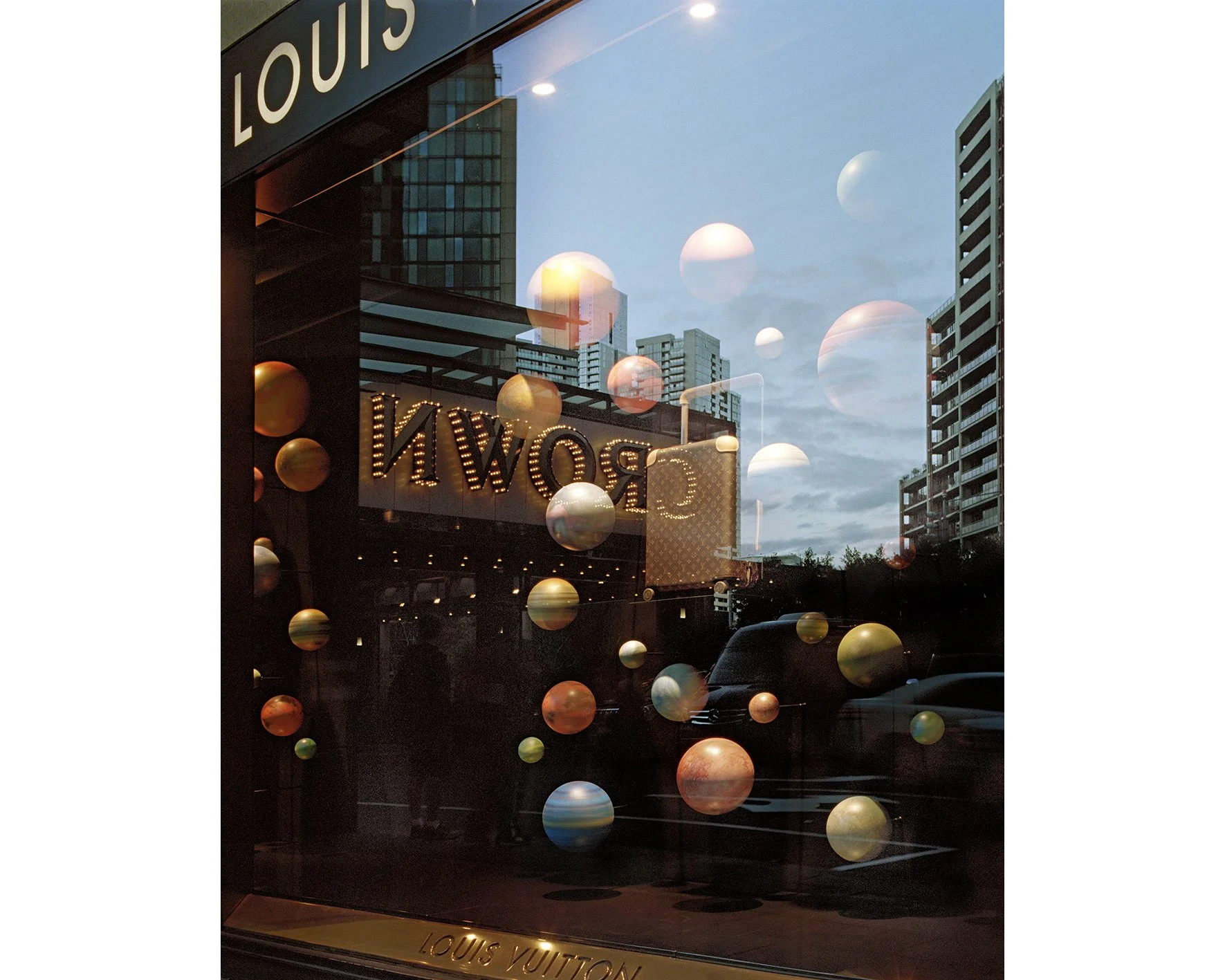
Melbourne from the Falls (Crown Casino, Southbank) 2016
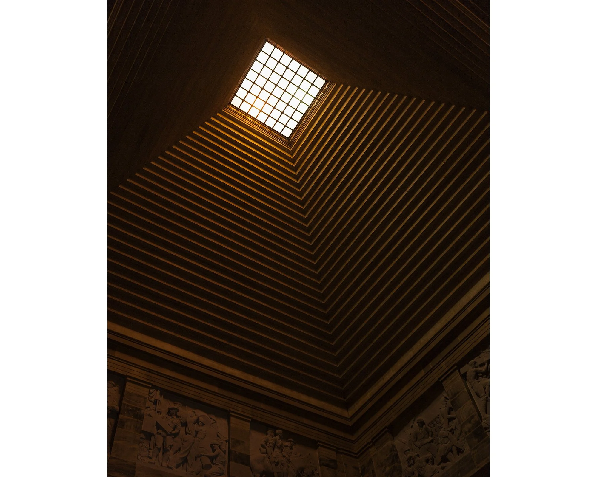
Shrine, (Shrine of Remembrance, Birdwood Ave, Melbourne) 2016
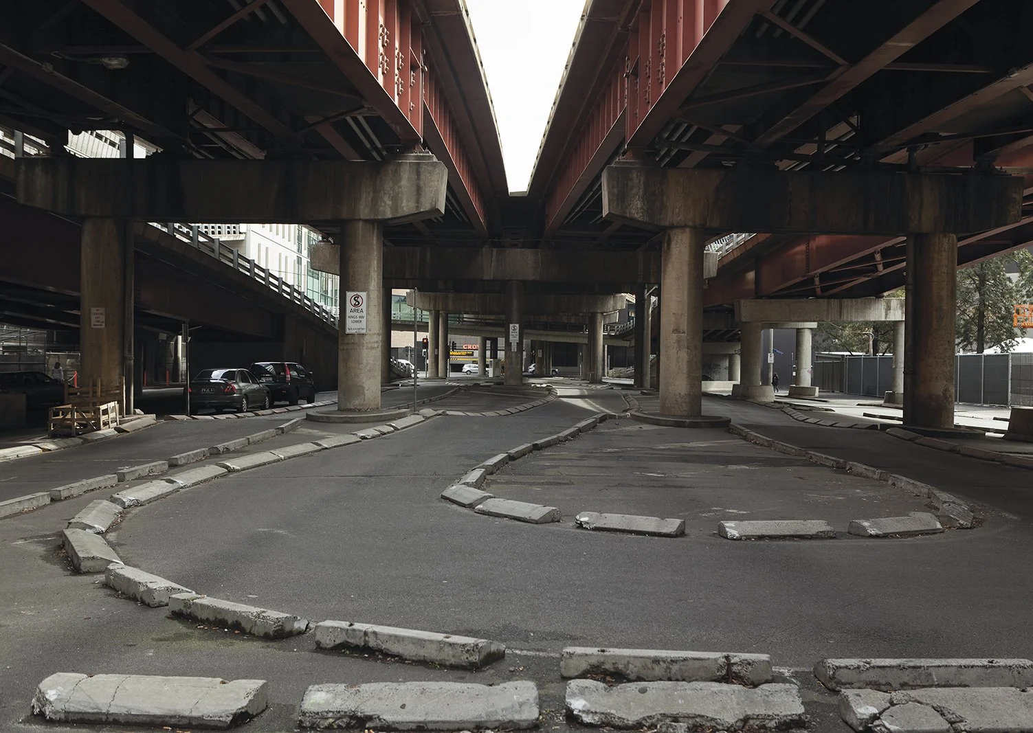
Underpass (King Street underpass, Southbank), 2016
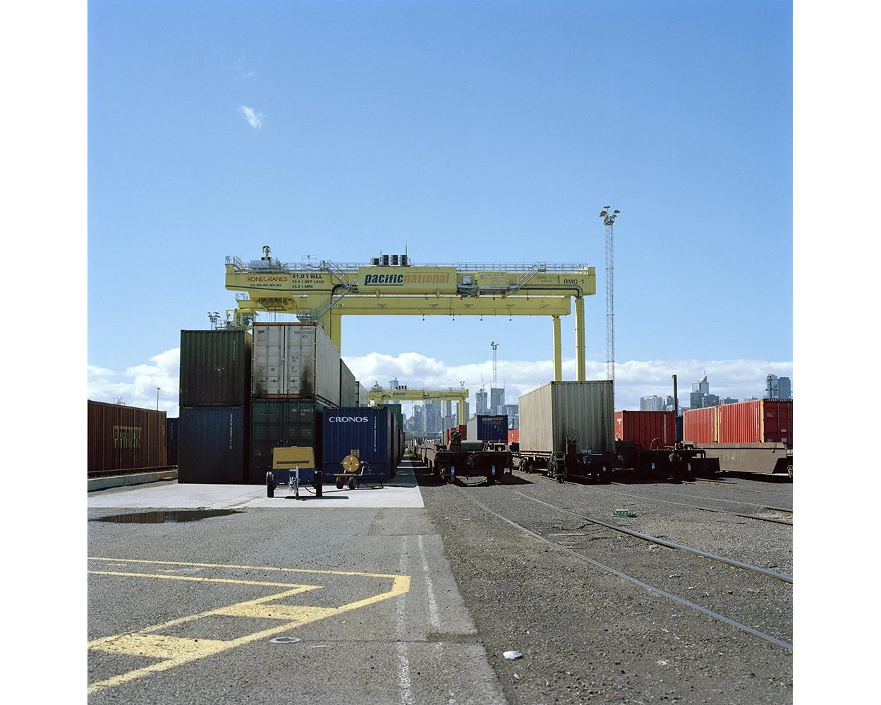
Pacific National, Dynon Road, Footscray, Maribyrnong River boundary, 2016
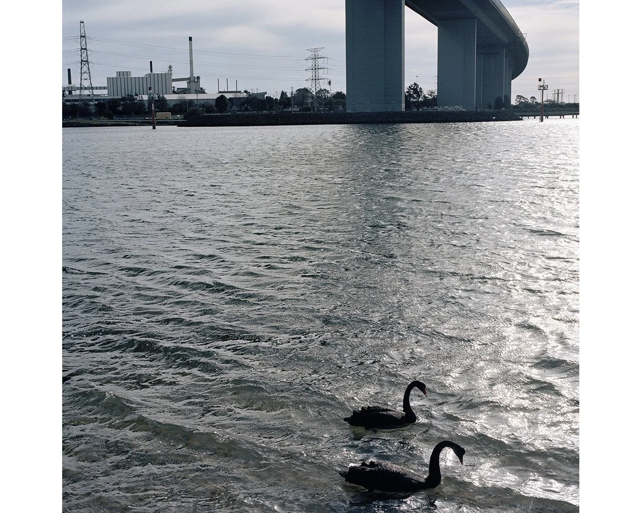
Westgate Park, Fishermans Bend, 2016
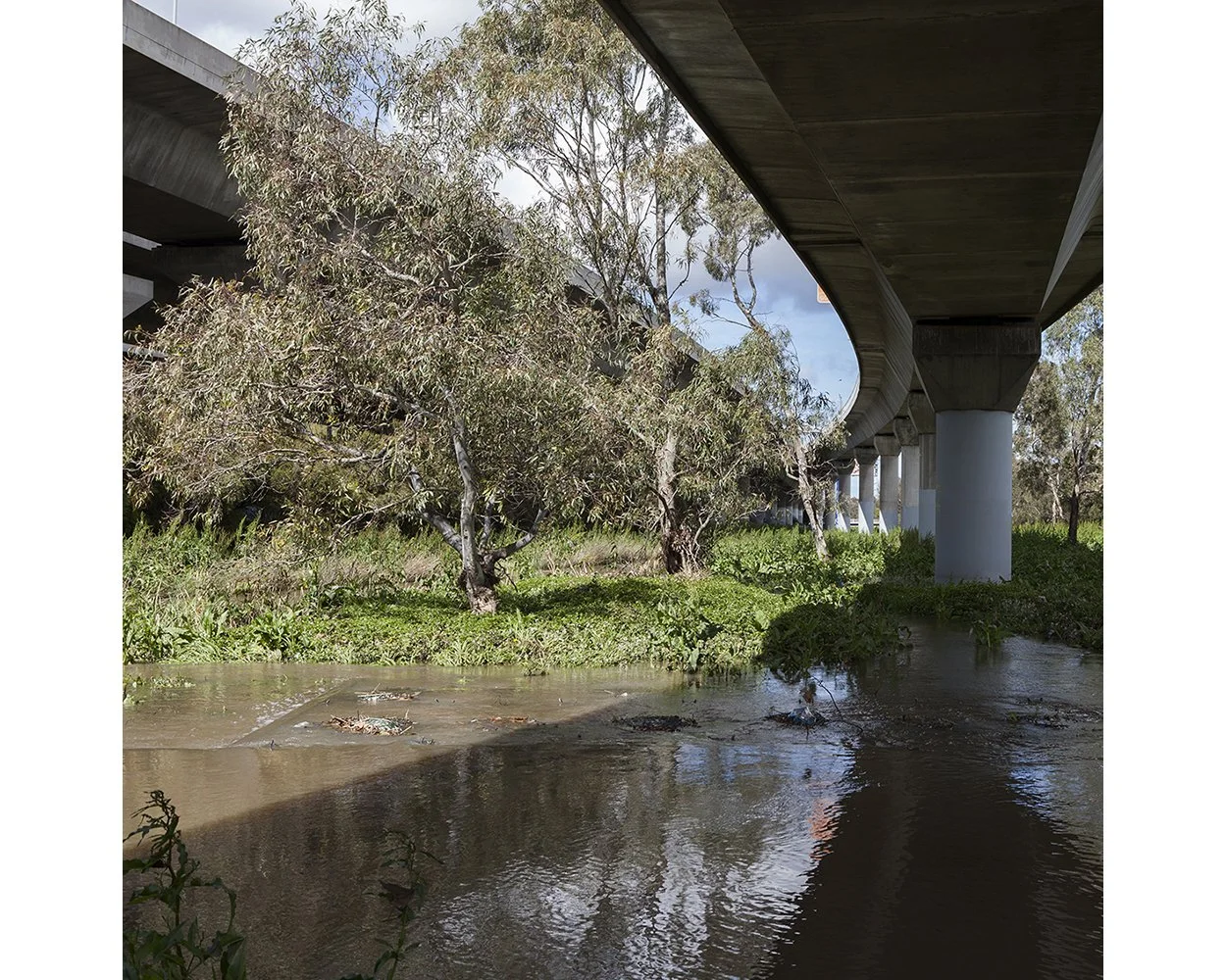
Moonee Ponds Creek, Railway Canal, North Melbourne, 2016
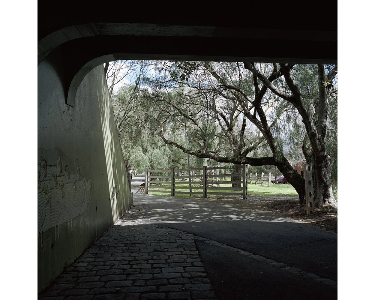
‘The Back Door’, Kensington Stock Route, 2016
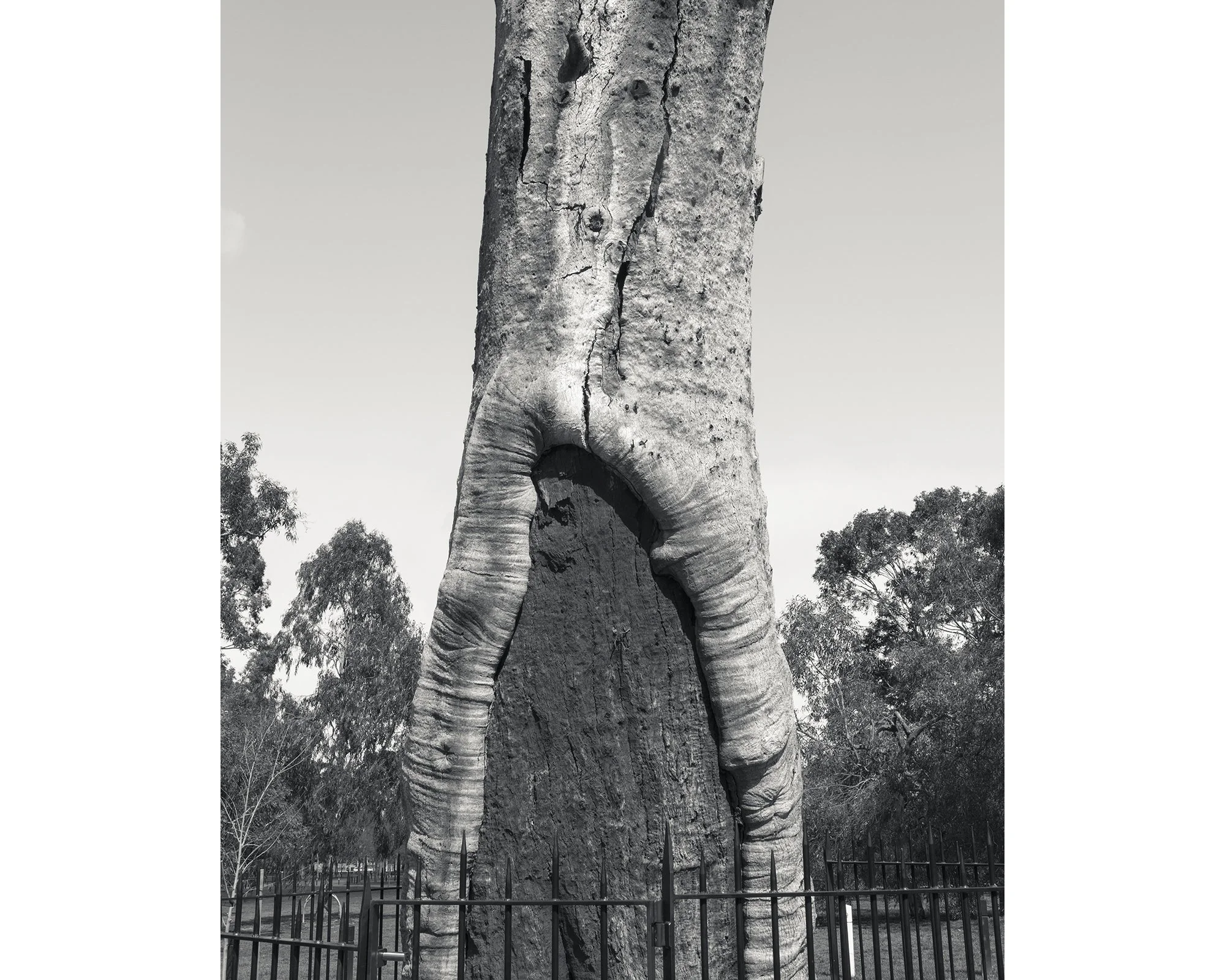
Scar Tree, Yarra Park, Jolimont, 2016
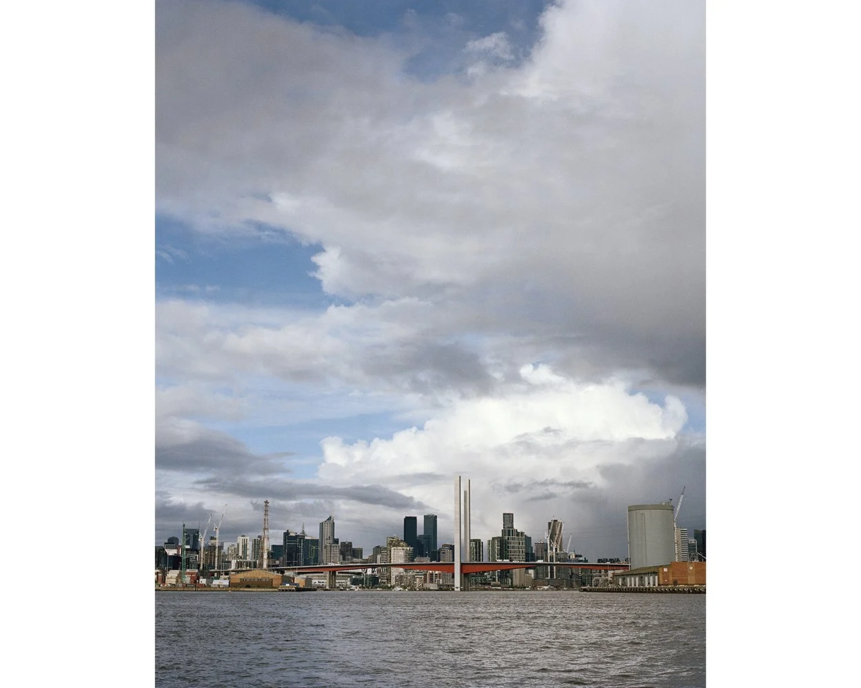
Victoria Dock and Docklands from Yarra River Entrance (Coode Canal) 2016
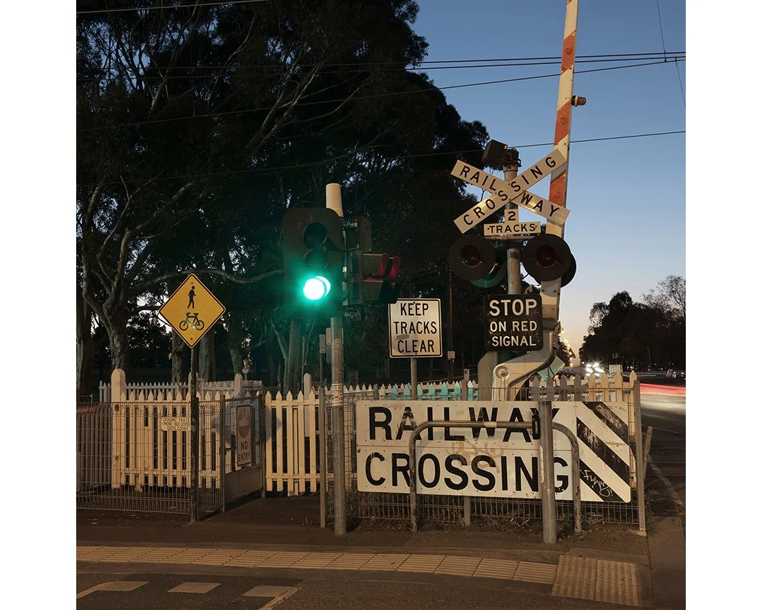
Upfield Railway Line, Park Street, Parkville, 2016
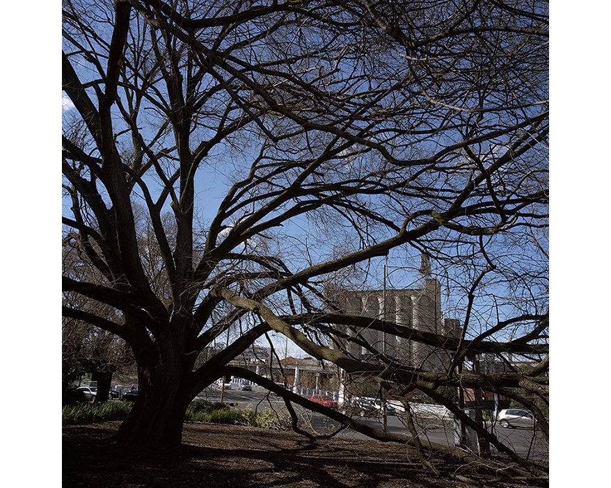
Golden Elm, cnr Punt Road, & Alexander Avenue, South Yarra, 2016